Progress at Flying Point Beach Post Superstorm Sandy
1 minute
01/10/2013
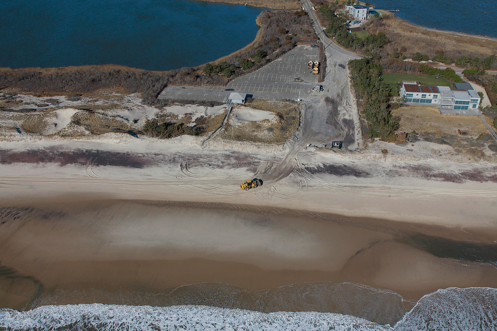
Here are some aerial shots of Flying Point Beach in the Town of Southampton before Superstorm Sandy in May of 2012, right after the storm on October 30, 2012, on December 28, 2012 and, most recently, on Thursday, January 10, 2013. It’s clear Southampton Town has done some solid work cleaning up the parking lot and removing all that sand. The photos are from local photographer and videographer Jeff Cully of East End Fine Arts Services. View all the photos here.


Vetted Hamptons Resources
Hamptons Classified
Access our trusted network of local professionals and browse employment opportunities in the Hamptons.