New Voluntary Helicopter Routes Debated

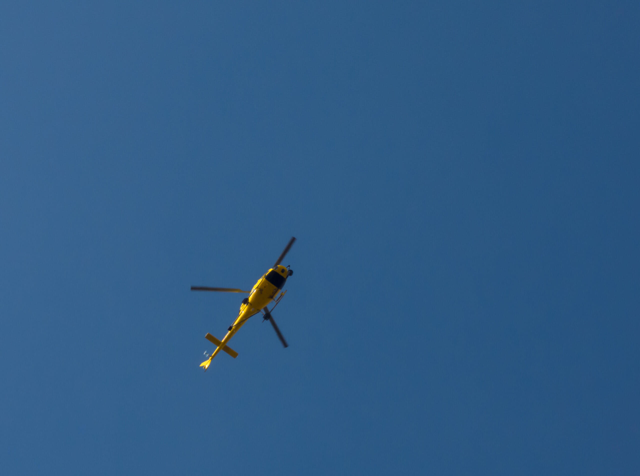
Helicopter pilots are being urged to use a southern approach to East Hampton Airport as well as the oft-used northern route, with predictable results: airport critics say the move does little to lessen the often-unbearable noise they experience. But as weather patterns change, the coming months may bring some relief.
One local pilot explained that the Sierra or southern route over the local ocean beach is too foggy; some pilots are uneasy, and passengers are afraid.
Jeff Smith, chairman of the Eastern Region Helicopter Council, said we might yet notice a difference. “Fog shuts us down,” he said. “In May, June, and July we have a cold ocean and hot air.”
That means the helicopters almost exclusively take the November (northern) route, cutting in from Robin’s Island into North Sea/Noyac and following the power lines. Meanwhile though, jets, prop planes, seaplanes, and the like land from the south side.
Whatever the case, Patricia Currie of Noyac lamented in a letter to the editor this week, “North Sea, Noyac, North Haven, Sag Harbor, and Bridgehampton residents are inundated with deafening helicopter noise [while] only a small area on the western flank of East Hampton Town [is] impacted by inbound helicopters.”
Smith acknowledged the skies are crowded this time of the year. “We deal with it,” he said. The pilots by and large will take whatever route is recommended.
“We have a very good compliance rate, and the noise problem is important. But we can’t alleviate it at the expense of safety,” Smith added.
He said he would attend a meeting with the Airport Advisory Committee with Bruce Miller, chief air traffic controller, and town officials this week to discuss the next step, to encourage more helicopters to take the southern route. He noted Gabreski Airport in Westhampton sends a lot of planes out over the ocean, so crafts headed to East Hampton have to stay clear of the coastline until safely past the Westhampton airport. “Helicopters also have to avoid fixed wing planes,” he added.
Currie says she has the data to prove that the copters are coming in over her house. They should be 3500 feet above ground, but they make a distinctive and often abrasive noise, she noted.
“We tweak [the route] all the time,” Smith said, but there are problems with every new route drawn. “We shifted an inkling north of Robin’s Island, but the pilots complained they were flying too close to the exit route.”
Former East Hampton Town Councilman Dominick Stanzione responded to complaints from East Hampton residents in Northwest Woods and shifted both the incoming and outgoing routes over to the power lines. Complaints were so numerous that then Southampton Town Supervisor Anna Throne-Holst had to intervene.
One problem is the control tower at East Hampton Airport is too low and helicopters approaching from the south are hard to see. “It’s because of where the towers are situated at the airport. They could be raised,” Smith said.
Currie said Miller and other town officials told her, “All fixed wing aircraft including seaplanes are to be cleared in from the south.” But she can capture landings and takeoffs real time on the internet and her images show extensive and oftentimes exclusive north side traffic. “A dangerous mix is flying primarily over Southampton and North Fork communities,” she said.
rmurphy@indyeastend.com


