Bike And Pedestrian Trail Across East End?

The expansion of a New York State bicycle and pedestrian path that currently runs from Battery Park in Manhattan all the way up to Montreal, with another section that runs from Albany to Buffalo, was discussed by the East Hampton Town Board November 20. The idea is to extend the path across Long Island, all the way to Montauk Point. Councilman David Lys, who is shepherding the possible extension of the Empire State Trail across East Hampton, led the talk. He was joined by Andrew Drake, an environmentalist with the town’s land acquisition department.
Drake had attended, at the board’s behest, a November 7 meeting in Hauppauge held by the New York State Bicycling Coalition and the Trust for Public Land. The meeting served as a preliminary discussion on how the entities would extend the trail to Montauk Point. Drake said the trail currently in place is about 750 miles long; and that as of 2016, 80 percent of the statewide trail had been completed. In January 2017, Governor Andrew Cuomo approved $200 million of funding to complete that final 20 percent, he said. However, funding has not yet been allocated for the eastern Long Island part of the trail, he said.
If the project goes forward on Long Island, Drake said, it would reap major benefits for the community. One being, he said, “to get people out to recreational opportunities, get people out into nature.” The trail would be safer for cyclists keeping them away from vehicular traffic, he said.
Drake said the existing trail is 10 to 12 feet wide, and never goes above or below grade by more than 2 percent, making the Empire State Trail compliant with the Americans with Disabilities Act.
In upstate New York, the trail frequently runs along utility cable corridors. That will not be so easy on Long Island, Drake said. Instead, particularly on the East End, a path adjacent to state roads would be considered. The eastern portion of the trail would run along the North Fork, then go south along Route 114 to Montauk Highway, and east to Montauk Point.
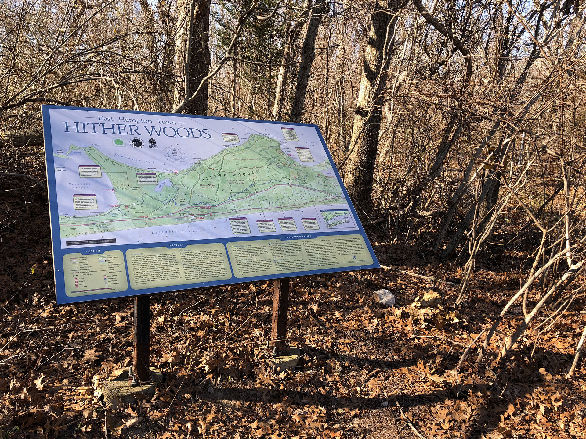
The portion of the trail on state roads would not simply be a bike lane, but, rather, a path separated from the vehicular roadway, for the safety of bikers, joggers, and walkers. On its way to the Montauk Lighthouse, it would connect with existing bike paths, such as the one that runs through Hither Woods.
Lys presented fellow board members with a design guide. He said that water kiosks would be dotted along the trail. He also said that it is possible that state or even federal funding could be obtained to expand shared use paths throughout the town. Springs, for example, would greatly benefit with the addition of a network of paths for bikers and pedestrians alike. As part of the hamlet studies, a proposed map was created that shows a series of trails throughout Springs, including a Springs to Amagansett trail, as well as a trail from Springs that leads to the beach in Amagansett.
t.e@indyeastend.com


