Walls Around the World: Most Mixed Walls, Mountains, Rivers and Fences
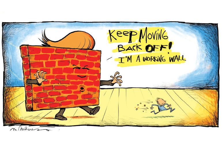
Since the folks currently guarding our southern border with Mexico have been asked how they can best spend the $6 billion which will be allocated, I thought it might be a good idea to survey here some of the walls and other means that have been tried out around the world to see how they have all worked out. Maybe it will give them some ideas.
BARRIER WITH MEXICO
The length of the winding border between the United States and Mexico is 1,954 miles. At the present time, about 700 miles of the border are separated by fencing, put up during prior administrations.
WWII BEACH PATROL
During World War II, the U.S. government learned from some agents in Switzerland that the Germans were intending on landing Nazi saboteurs with explosives on our East Coast beaches. The intention was to bury them and then later return and dig them up and take them inland, spreading havoc by destroying aluminum plants, railroad terminals, Jewish-owned department stores and power stations in America.
This was in early 1942, when Hitler was at the height of his powers. President Roosevelt ordered the Coast Guardsman, in their stations already built on East Coast beaches—six miles apart on almost all beaches from Maine to Florida—to watch for submarines from their towers, and at six-mile intervals send out patrols every two hours, 24 hours a day. He also ordered Army units encamped midway between the Coast Guard stations, and built concrete gun emplacements and airfields. He also would have liked to send out Navy patrol boats, but with the Nazi subs controlling the Atlantic Ocean, he was unable to do that.
Here in the Hamptons he built battleship gun emplacements into the bluffs at Montauk, and concrete machine-gun nests and lookout stations in Montauk and the rest of the Hamptons and the whole length of the South Fork from Amagansett to Moriches.
There were no walls built.
Five minutes after midnight on June 24, 1942, a Coast Guard ensign named John Cullen, beginning a patrol just 300 yards east of the Coast Guard station at Atlantic Avenue Beach in Amagansett, encountered four saboteurs in German navy officer uniforms, burying wooden crates near a sand dune. Behind them at the water’s edge were two armed sailors by a rubber raft hauled up on a sandbar. It was dark and foggy that night. Only one of the six, the leader of the mission, saw the Coast Guardsman at first, and he came over and told the Coast Guardsman they were on a secret mission for the U.S. government and he would be shot unless he ran away. Unarmed except for a flare gun and a flashlight, the Coast Guardsman did.

Swarms of Army soldiers, Navy personnel, Coast Guardsmen and FBI agents were soon swarming the scene. But the sub that brought the men here got off clean, and the four saboteurs ran through the night to the Amagansett railroad station and took a train to New York City. The leader of the unit later turned the others in.
A second landing four nights later at a beach near Jacksonville, Florida was more successful. They were neither seen nor heard by any of the patrols. But the leader of the Amagansett contingent provided information to round them up inland before any damage was done.

GREAT WALL OF CHINA
The Great Wall of China was built over a very long period of time. It was intended to keep Tartarians, Huns and Mongols on horseback from raiding Chinese villages to the north. The early walls were built starting around 200 B.C. and the later ones in the 15th century A.D. The Great Wall is not continuous. It runs through a valley between mountain ranges, it stops at rivers, it exists in some areas as trenches. Within eyesight of one another are lookout towers. There were 15,000 of them. These towers were manned, and smoky fires and scouts alerted towns behind them to send warriors on horseback when a threat was perceived. The tops of the walls, some as much as 30 feet high, were used to provide goods and services for those in the towers.
The longest of these barriers, built during the Ming Dynasty, ran for 5,500 miles, of which 3,833 miles were walls, 233 miles were trenches and 1,387 were natural barriers such as hills and rivers. Altogether, the walls built over the years during the Ming, Han, Quin and other dynasties exceeded 13,171 miles in total. It’s estimated it took a million men to build it. It did not always prevent individual soldiers armed with spears and swords from climbing the walls, but it did prevent horses from doing so. So they were somewhat successful.
ISRAELI WEST BANK WALL
This wall was ordered after many terrorist acts and suicide bombings in the 1990s. Begun in 2000, it is currently about half-completed and will end up at 440 miles. About 15% of it runs along the Israeli-Palestinian border, but the rest runs through Palestine as much as five miles in, leaving some 15,000 Palestinian villagers isolated from the bulk of that territory. About 90% of the wall is not a wall, but a series of three fences with barbed wire on top, forming a sort of pyramid. Both sides are patrolled. There are also trenches and concrete walls as high as 25 feet for 6% of it, particularly through urban areas. It has been highly effective.

BERLIN WALL
This wall was built in the 1960s to separate the Soviet Union zone of Berlin from the rest of Berlin. It was removed in 1989. It measured 96 miles in length and had security checkpoints where citizens could go from one side to the other. It was also contiguous. Built by the East Germans, it was highly effective in keeping citizens from the Soviet-controlled east bank from defecting to West Berlin.
DEMILITARIZED ZONE BETWEEN TWO KOREAS
A series of watchtowers, chain-link fences and barbed wire have separated North and South Korea since 1953. It runs for 160 miles from coast to coast across approximately the middle of the peninsula. Both sides are manned with guns and soldiers. In the 1980s, the South Koreans built a flagpole on their side that rises 323 feet, atop of which is a flag weighing 287 pounds.
A few years later the North Koreans built a flagpole on their side rising 525 feet, atop which is a flag weighing 595 pounds. The North Korean flagpole is believed to be the fourth tallest in the world. (The tallest is in Jeddah, Saudi Arabia, rising 558 feet.) In addition, starting in 1953 each side broadcast audio propaganda at the other from massive loudspeakers mounted atop buildings. It was discontinued in 2004 by a border agreement. This demilitarized zone has been highly effective in keeping civilians from defecting from one side to the other.

MAGINOT LINE
Ten years after the First World War, the French built a contiguous series of hills at the German border with tunnels inside and guns facing into Germany. It went from the Belgium-Holland border to Switzerland, a distance of about 500 miles. When the Germans decided to invade France in 1940, they simply sent their Panzer divisions around where it ended in Belgium. So it was useless. It should have gone all the way to the English Channel, but it didn’t.
WALLS ON THE LONG ISLAND EXPRESSWAY
The Long Island Expressway extends from Brooklyn to Riverhead, a distance of nearly 95 miles. An estimated 10 miles of it is bordered by 20-foot-high walls, supposedly there to block the view and noise of the traffic from residential areas on either side. Others say it blocks the view of the people in the cars driving to Manhattan from having to see Long Island. In either case, the walls need to be completed before their effectiveness can be evaluated.
Vetted Hamptons Resources