Widow’s Hole Preservation

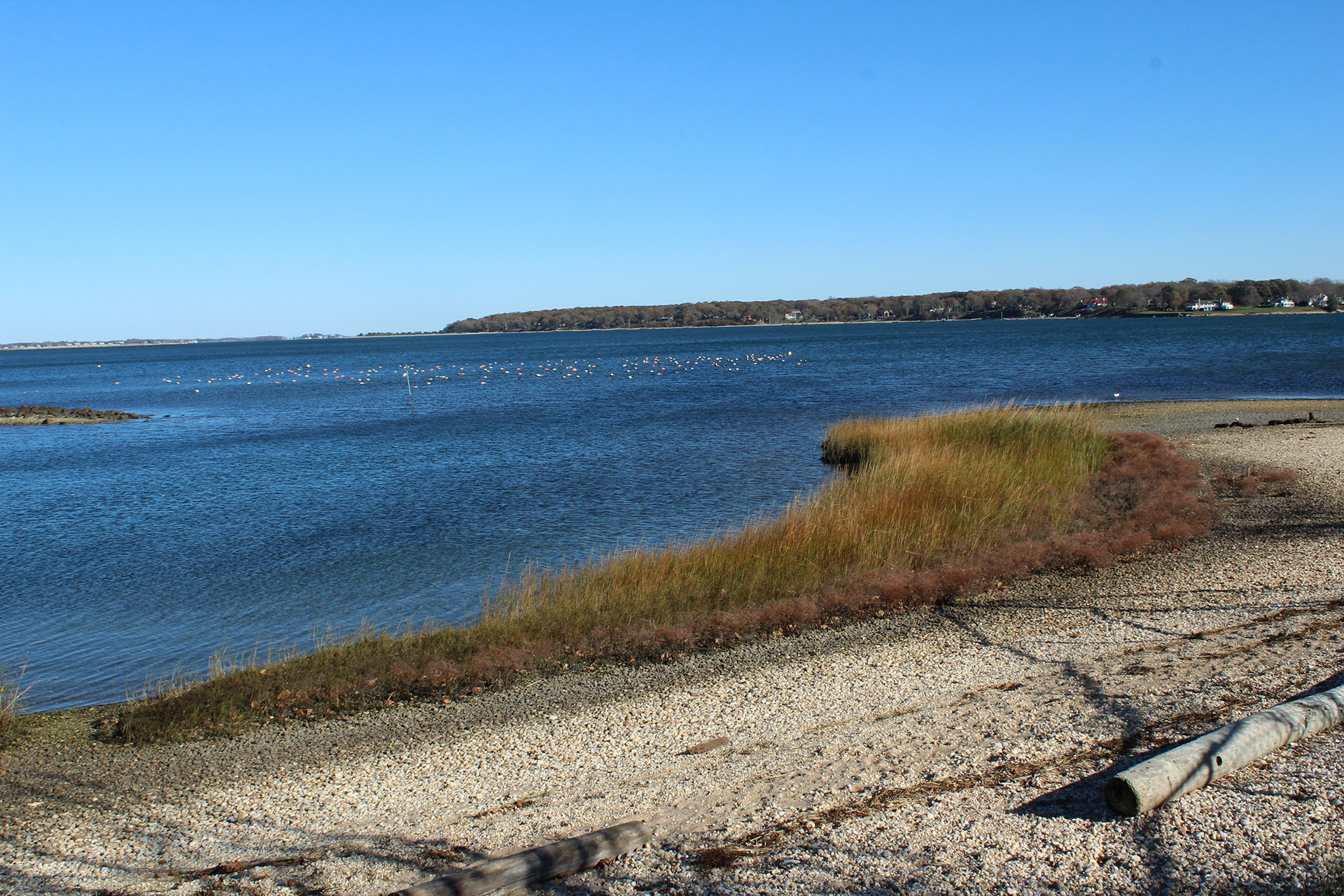
Cornell Cooperative Extension of Suffolk County and the Peconic Land Trust recently received a $150,000 grant to restore the shoreline of the 2.3-acre Widow’s Hole preserve in Greenport.
Matthew Swain, the land trust’s director of Stewardship and Geographic Information Systems, discussed this spring’s rebuilding of “a living shoreline” at the property on Fourth and Clark Streets in the village.
What was the impetus for this project?
Matthew Swain: Hurricane Sandy in particular destroyed the shoreline there, so we devised this restoration project between Peconic Land Trust and Cornell Cooperative Extension to re-build it, not using hardened structures, but kind of the new trend in coastal restoration, which is a living shoreline.
How did you start?
The first thing we built up was the dune area. Not the beach area, but more toward the upland.
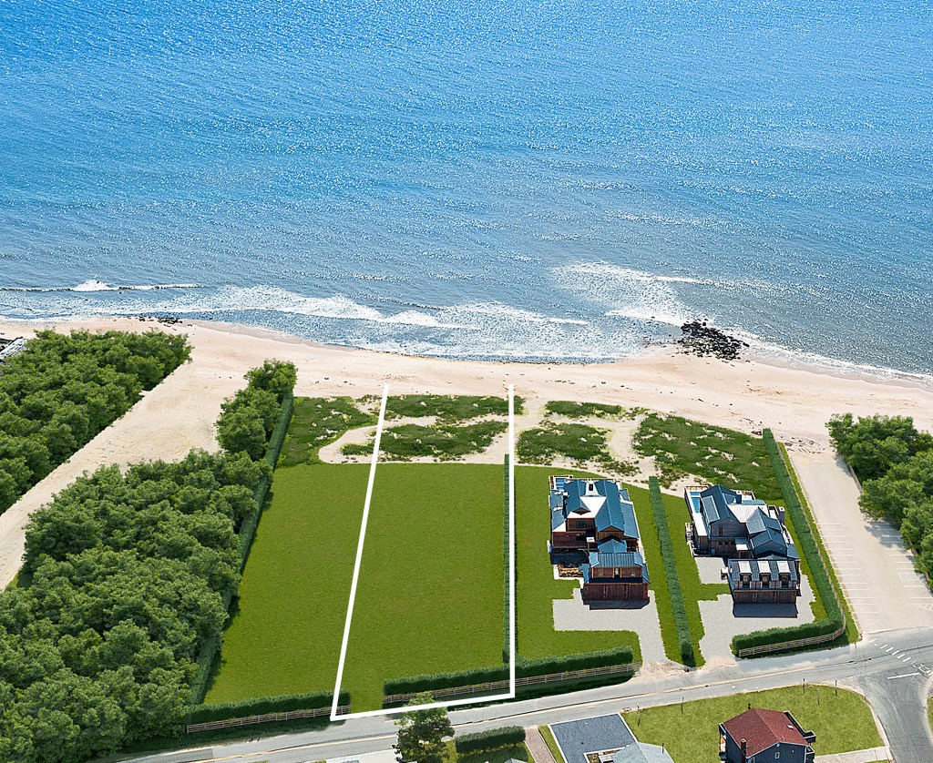
That involved trucking in a lot of stone and boulders and sand. Once we had that built and sculpted, the surrounding community actually came out and planted beach grass on top of it and then we fenced it off. Along the shoreline we built a small wave break using cobblestone to help control erosion. On the end we planted the spartina. We had Greenport school kids come and help us with that.
How many kids? What was it like for them?
About 30 kids and they were all really excited.
It seems like kids are getting further and further away from nature because they had a whole bunch of questions as to why we were actually doing this and why we have to do it.
We were telling them that we’re trying to bring this area back to the way it was before humans impacted everything, but of course they were running around and stealing crabs. They’re kids. It’s not easy to keep them focused.
Pretend I’m a kid. Why is this project so important?
Everyone kicks around “global warming” and “increased storms” and all, but to me a project like this — where you can take a small project and bring it to the community — that, to me, is the only way you’ll ever make anybody understand the impact of increased storms and global warming because you’re not looking at the polar ice caps every day. You have to bring these things into terms that people can wrap their hands around. That’s what this project does.
How has Widow’s Hole changed since Hurricane Sandy?
The storm came up and washed away half an acre, so we were down to bare bones there. It took us tons and tons of stone — and near 1000 cubic yards of sand — to recreate what we lost. We have a five-year monitoring plan showing the property before and after Hurricane Sandy. We’ll continue to monitor and make any changes we need to in the next five years.
I remember the Army Corps of Engineers were all about hardened structures back in 2012. Are you telling me they’re changing their approach?
Yes that’s right. The DEC actually released guidelines on creating a living shoreline a few years ago.
This is one of the first ones, so the DEC was very involved. They’re the ones that actually somewhat forced us into doing a monitoring plan because they want data as to how this is working and the other interesting thing is that when we were coming up with this plan we actually went around all the areas that didn’t have bad erosion and we were saying, “What makes these areas hold up better?” So, we photo-documented all of those spots, did a number of samples and tried to duplicate them.
What did these successful areas look like? Were they more green? More root structures?
Yes, they had more spartina, a stronger, more well defined upland with lots of vegetation and honestly, they had more cobble around the shoreline.
Where did you get the plants?
All the spartina and beach grass was taken and re-seeded from this area, so they were grown at the Cornell Cooperative Extension of Suffolk County and the seeds are all totally local too.
The funding for this project came from the Peconic Estuary Program, www.peconicestuary.org.
gianna@indyeastend.com


