The Science Behind The Surf

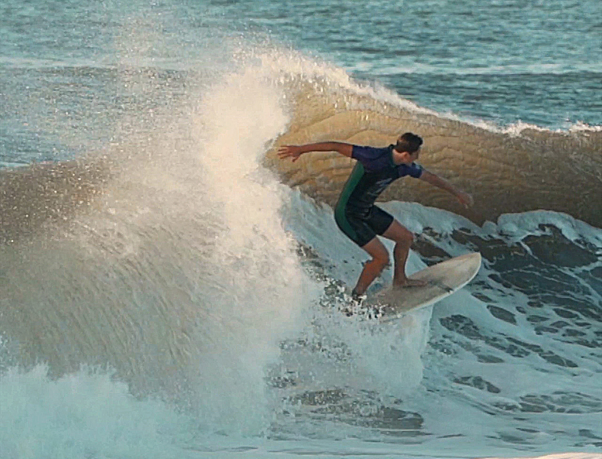
Autumn on the East End screams big swell as we settle into the peak of hurricane season. A positive spin on a tragic natural occurrence is Long Island natives anxiously await the best surf of the year. The water is still warm, the tourists have fled, and the waves are pounding. Storms that devastate the tropics can hit Long Island with no more than some heavy wind and rain, and even heavier surf.
We can attribute these big waves to the type of storm known to us as tropical cyclones. When a cyclone reaches and sustains winds of 74 miles per hour or higher, the World Meteorological Organization will deem it a tropical storm and assign it a category and an infamous name. These storms have different nuances all around the world, but they all start off in the same way — forming in the warm ocean waters near the equator.
The key component of these storms is the eye, much warmer than the surrounding air. It creates a pressure gradient that feeds the cyclone, the air it needs to gain power. Churning like an enormous heat engine, warm sea water and winds fuel the low-pressure core of the storm system until it’s 20 to 40 miles wide. In the Northern Hemisphere, air spirals counter-clockwise toward the eye. These spiraling winds push on the sea surface, causing water to pile up into a storm surge. As hot air continues to rise high into the atmosphere, it cools and condenses into clouds, by this point growing and swirling into a vortex of air and cumulonimbus clouds often associated with thunderstorms.
These rain bands can extend outward anywhere from 25 to 150 miles. The storm in its entirety is typically about 300 miles wide. Although these unstable low-pressure cores can grow rapidly, they can be cut down by the time they reach our waters for a multitude of reasons, but more simply because of the interactions between the storm, with its own internal circulations, and Earth’s atmosphere.
Often carried from the coast of Africa, trade winds gust toward the Caribbean Sea, where the storm will form and travel up the North American coast. Easterly winds in the tropics steer a hurricane westward. When the storm reaches our continent, the trade winds have weakened and the Coriolis effect — whereby a mass moving in a rotating system experiences a force acting perpendicular to the direction of motion and to the axis of rotation has more directional impact — curves the storm north.
Continuing in that direction, the storm heads into the westerlies in the mid-latitudes. Operating in opposition, the westerlies and the trade winds can reverse the path of the storm and drive it northeast. By the time the storm has traveled up the east coast, changes in size, intensity, speed, and direction have occurred.
If the hurricane powers its way up the coast to New York, the intensity of the waves is reliant upon the topography of the seafloor and wind patterns. Hurricane waves differ from those generated by normal wind conditions. Inconsistent wind speeds and storm surges in the deep water near the shore generate larger waves that break closer to shore than the typical surf. The water can pile up toward the shore creating a moving surge of water. When that storm surge reaches shallower waters near the coast, the vertical circulation in the ocean is disrupted by the ocean bottom. With nowhere to go but up and inland, the swell builds.
Steeper declines in the seafloor allow bigger waves to form. New York’s gradual decline in the seabed allows for some for big waves, but nothing like the swell formed in the Florida Keys or Caribbean islands, where the seafloor drops off rapidly. We should be grateful for our seven-footers as they come with fun and very little tragedy, comparatively speaking.
While hurricane season is often cataclysmic, there’s no stopping it. That’s the nature of nature. Long Island does get hit with some severe storm damage and sympathy for the folks down south, but we can learn to prepare and appreciate the positives. Hurricane Sandy brought us the Fire Island breach, which aids in flushing the Great South Bay for better water quality. Almost every hurricane that reaches New York sweeps up some tropical fish and pelagic birds for naturalists and fishermen alike. However, for most East Enders, the stoke is in the waves. Big storms bring big waves and short boards. Use that extra tube time to appreciate the climatological conundrum that brings that swell.
Jackie Avignone is an environmental educator at the South Fork Natural History Museum & Nature Center. She graduated from Stony Brook University with a B.S. in marine sciences.


