December PEP Talk

The Peconic Estuary Program’s Citizens Advisory Committee met on December 5 to discuss a new logo, a new storyboard, and more.
The draft version of “The Story of the Peconic Estuary” contains information about what’s been called “one of the last great places in the Western Hemisphere” by the Nature Conservancy.
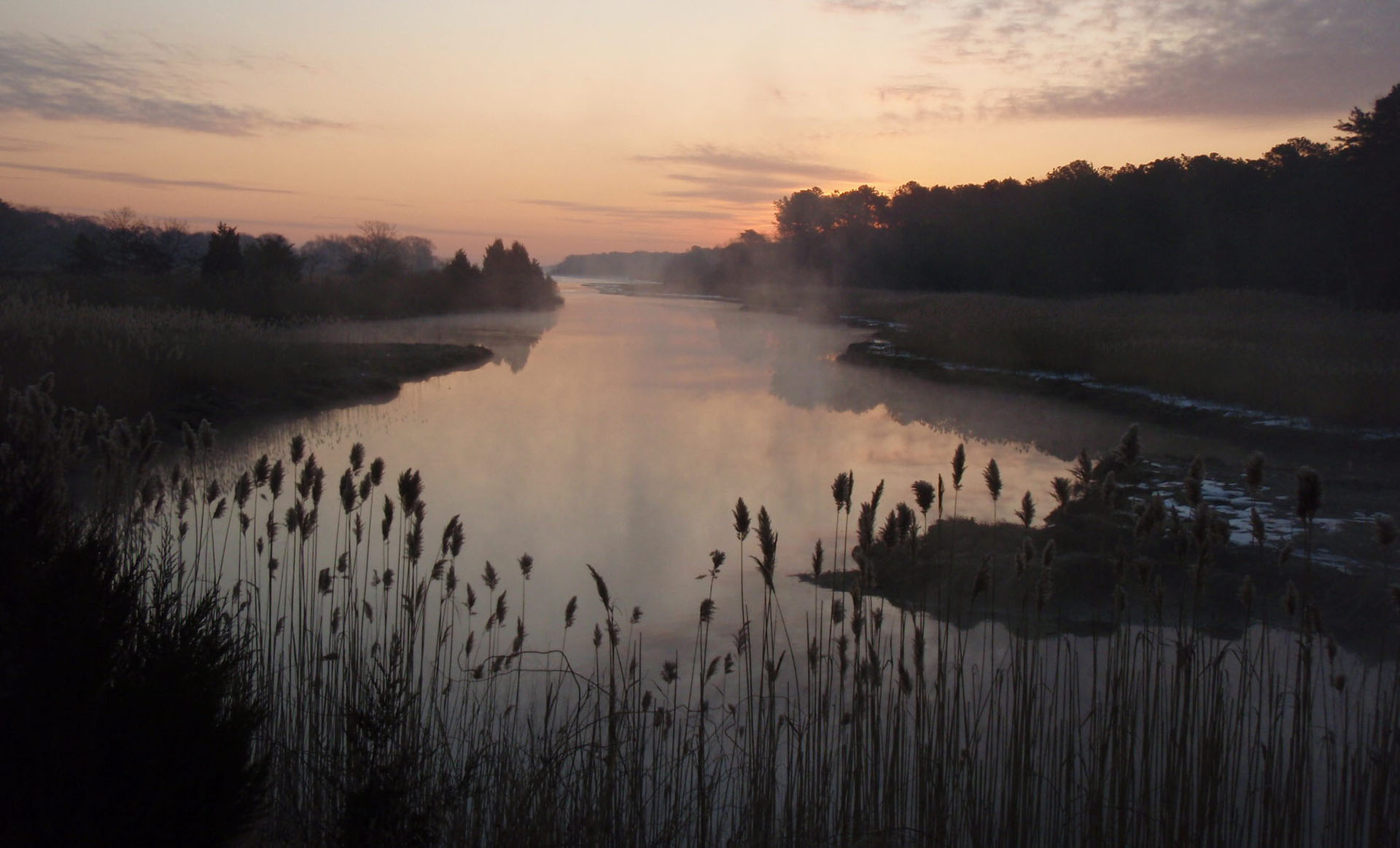
The Peconic Estuary lies between the North and South forks. It begins at Brookhaven National Lab with the headwaters of the Peconic River, spans the several bays from Flanders to Gardiners, and ends in Block Island Sound between Plum Island and Montauk Point.
In total, the Peconic Estuary Study Area includes more than 158,000 surface water acres and 125,000 land acres. The Peconic Estuary Study Area consists of more than 100 distinct bays, harbors, embayments, and tributaries.
In 1992, the Peconic Estuary became the 20th estuary in the nation to receive the designation as an “Estuary of National Significance” by the U.S. Environmental Protection Agency, and the Peconic Estuary Program — a collaborative partnership of local, state, and federal governments, citizens, environmental groups, businesses, industries, and academic institutions — was established.
Currently, the PEP is working on updating its comprehensive conservation and management plan from 2001, and submitted a draft for public view in September of this year. The goals, of course, include clean water and healthy ecosystems, but also improved partnerships and engagements, and to help communities be more resilient to climate change.
A spokesperson for the Peconic Estuary Program said that the plans probably wouldn’t be finalized for “The Story of the Peconic Estuary,” the new logo, and the CCMP until the spring.
To learn more, and to engage in any of its various programs and educational events, visit PEP’s website at www.peconicestuaryprogram.org. To view the storyboard discussed at the December meeting, visit the same website and look under “Protect the Peconic” for more information.
bridget@indyeastend.com


