A GPS Story: Saving Time & Dodging Hamptons Traffic

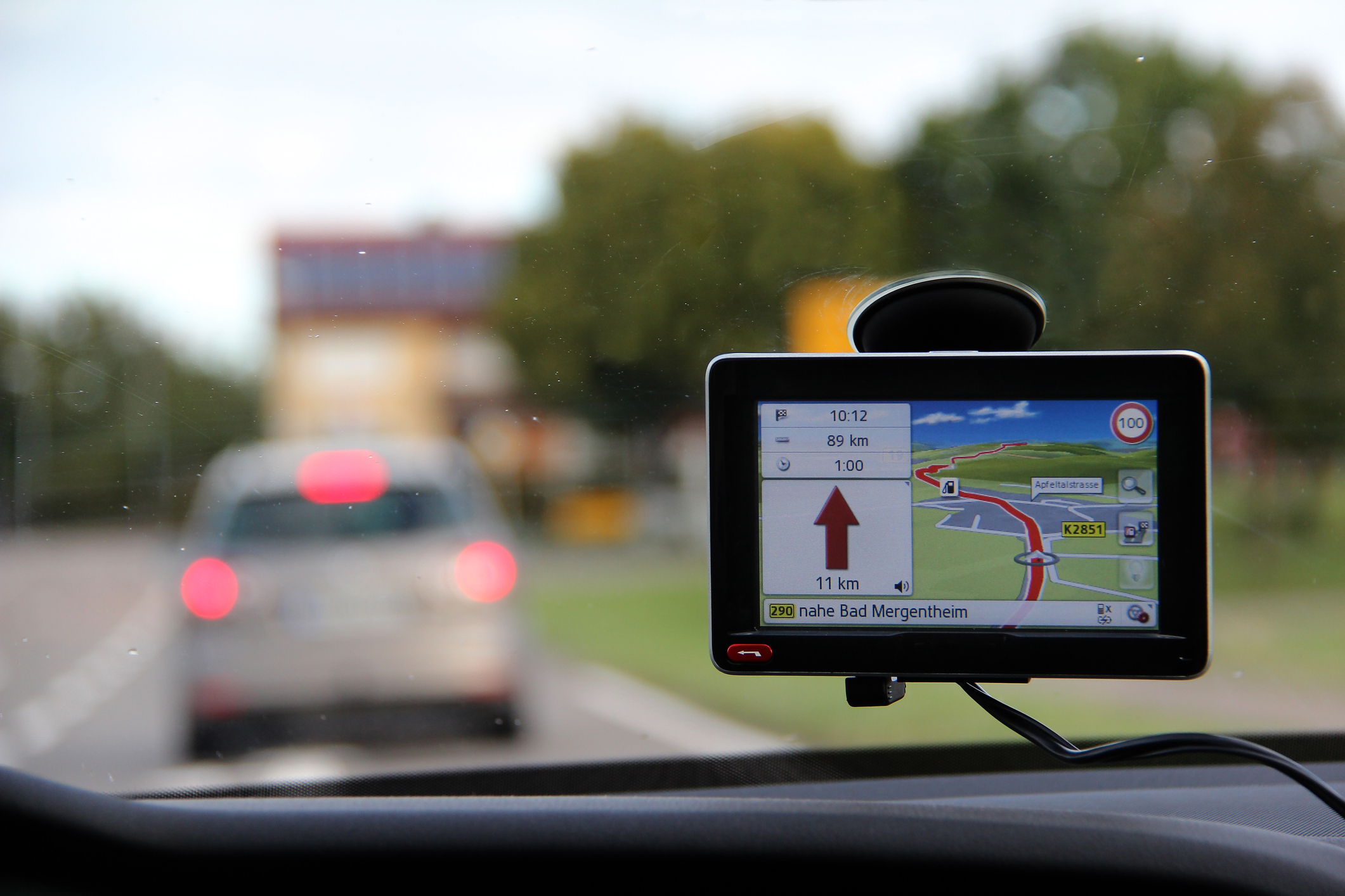
A study in the Department of Psychiatry at McGill University in Montreal concluded that habitual use of GPS directions on smartphones leads to a decline in an individual’s handling of spatial relationships.
Personally, I consider this trade off worth it.
For example, last Saturday morning I needed to go from my house on Three Mile Harbor Road in East Hampton to my dentist on County Road 39 in Southampton. My brain told me the simplest way to go would be to just follow the Montauk Highway 16 miles to the County Road 39 turnoff, then up 2.3 miles where my dentist is on the left. However, traffic can be backed up for miles on the Montauk Highway. My GPS had a faster way.
I turned left out of my driveway, went 1.2 miles to a right onto Tub Oarsmans Road. Then 0.1 miles to a right onto Bow Oarsman Road, to a 2-minute tie-up 500 feet to a left onto Boatheaders Lane North, then 0.2 miles to a left on Middle Highway then a quick right on Wooded Oak Lane, a right onto Hands Creek Road for 0.1 miles then after a 5-minute tie-up left on Old Orchard Lane for 0.6 miles, right on Cedar Street for 2.1 miles to a 19-minute tie up, then left on Stephen Hands Path, then, because of a 22-minute tie-up caused by a tree-trimming truck, a right on Two Holes Water Road for 3.6 miles, then left on Swamp Road to the Sag Harbor Turnpike for 6.7 miles, then right on Hampton Street for 2.8 miles, then after a 31-minute tie-up straight onto Ferry Road for 1.4 miles, then left on Short Beach Road which after 0.3 miles turns into Long Beach Road for 2.1 miles to a right onto Noyac Road.
Continuing on Noyac Road for 3.8 miles I turned left onto Deerfield Road for 2.8 miles to a left onto Towd Road for 0.3 miles to a right onto Edge of Woods Road for 1.6 miles to Majors Path where there was a 32-minute tie-up, and so then a right on Majors Path 2.4 miles to a right onto Great Hill Road, then after a 55-minute tie-up 0.7 miles a right onto Seven Ponds Road for 2.1 miles, then another right onto Lower Seven Ponds Road, left onto Head of Pond Road for 1.2 miles then right on Narrow Lane for 0.3 miles, right onto Scuttle Hole Road then right onto the Montauk Highway for 500 feet to a right onto Rose Hill Road which loops around to become Davids Lane for 0.2 miles then after an 8-minute tie-up, a left onto the Montauk Highway, a right onto Old Mill Road and a 16-minute tie-up for 0.9 miles, left 800 feet onto Upper Seven Ponds Road into a 17-minute tie-up at the intersection with Mecox Road, then 800 feet further to a left onto Seven Ponds Road again where after 0.2 miles there was a 6-minute tie-up, then a left onto David White’s Lane for 0.2 miles, a left on the County Road 39 bypass and then after 0.1 miles my destination was on the right.
Elapsed time: 5 hours and 9 minutes.
According to GPS, it would have taken 17 hours and 14 minutes if I had taken the Montauk Highway route. This was quite a savings.
Conclusion: GPS guidance is well worth it, addiction be damned.


